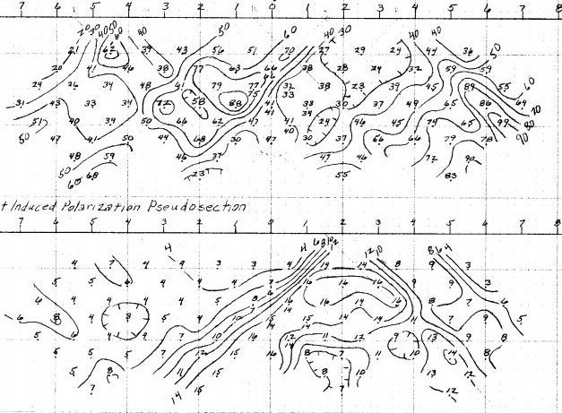
Digitization
Verified historical data capture
Geology, geochemistry, geophysics and drilling records recovered from any source - from handwritten field notes to scanned regional maps.
- Lithological units, contacts & structure
- Drill logs, assays & geotech records
- Geophysical maps and sections & wireline logs (LAS)
Databases
Data value enhancement
Raw digitized data compiled into structured, relational databases - statutory-compliant and formatted for modern analytics pipelines.
- Database compilation & management
- Standardised geological classification
- Model-ready, schema-aligned outputs
Spatial
Georeferencing & spatial validation
Maps of any vintage located with quantified accuracy - even with no coordinate annotation, using feature matching against modern satellite imagery.
- Prospect to regional scale
- Documented positional confidence
- Full transparency on data reliability
Geophysics
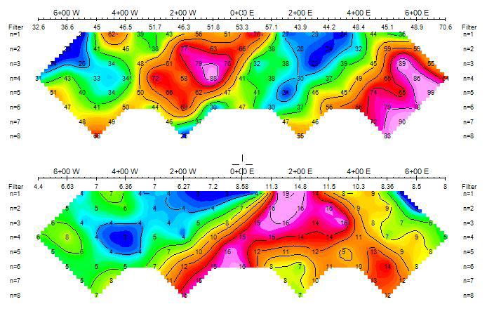
Processing & interpretation
Ground and airborne datasets re-processed with modern computational techniques to sharpen targets and improve subsurface visualisation.
- 2D & 3D inversion modelling
- Magnetics, EM, gravity, IP/resistivity
- Legacy survey re-processing
Field
Ground geophysical surveys
IndiGEO owns and operates a broad selection of geophysical equipment, enabling surveys customised to your target and terrain.
- Ground magnetics & EM
- IP & resistivity surveys
- Survey design through interpretation
Reporting
Cartography & statutory reporting
Professional map generation and comprehensive report writing, meeting or exceeding government requirements and industry standards.
- Publication-quality map production
- Statutory & technical reports
- Deliverables in your house style
↻
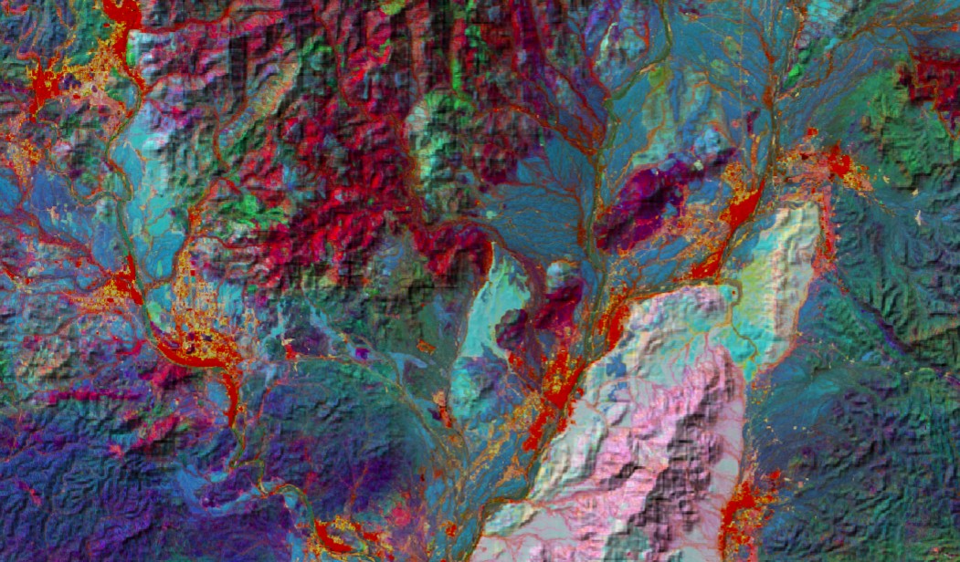 Sentinel-2 Lithological Discrimination and Alteration Analysis